
UN Votes to Replace Mercator Map With Equal Earth Projection Showing Africa’s True Size
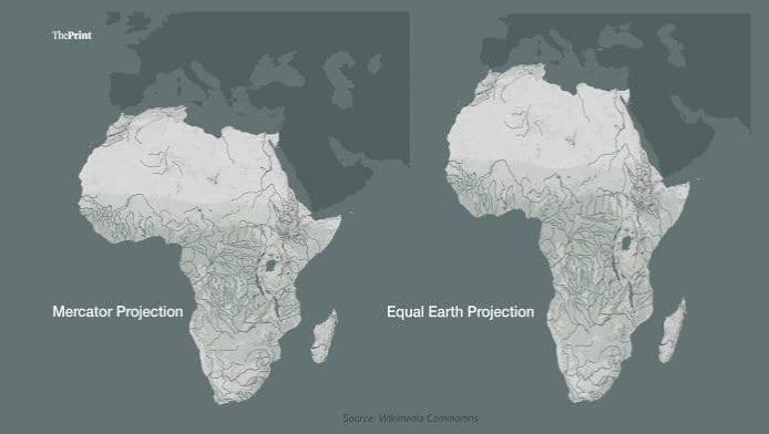
The United Nations General Assembly has backed a resolution promoting the use of the Equal Earth map projection, which more accurately represents Africa’s vast landmass and challenges the long-standing dominance of the Mercator map.
UN Votes to Replace Mercator Map With Equal Earth Projection Showing Africa’s True Size
The United Nations General Assembly has voted in favour of a resolution calling for greater use of world maps that accurately represent the relative size of continents, marking a major challenge to the centuries-old Mercator projection.
The resolution, sponsored by Togo on behalf of the African Union, received 164 votes in favour. The United States voted against it, while six countries abstained.
The move promotes the 2018 Equal Earth projection, an equal-area map designed to provide a more realistic representation of the size of countries and continents, particularly in regions around the equator.
Why the Mercator map has been criticised
The Mercator projection was developed by Flemish cartographer Gerardus Mercator in 1569 primarily for maritime navigation. Its ability to preserve directions made it extremely useful for sailors, helping establish it as one of the world's most widely used map projections.
However, the projection significantly distorts the size of landmasses as they move away from the equator.
As a result, countries and regions in the Northern Hemisphere can appear substantially larger than their actual land area, while equatorial regions appear comparatively smaller.
One of the most frequently cited examples is Africa and Greenland. On a conventional Mercator map, the two can appear relatively similar in size, despite Africa being roughly 14 times larger than Greenland.
The distortion has prompted decades of debate among cartographers, historians and educators about how maps influence people's understanding of geography.
Togo pushes 'Correct the Map' campaign
Togo has been at the forefront of efforts to change the way Africa is represented on commonly used world maps.
The country's foreign affairs minister, Robert Dussey, argued before the UN vote that the issue should be viewed primarily through a scientific and geographical lens rather than as a political dispute.
The campaign argues that distorted maps can influence perceptions of Africa's geographical, economic and geopolitical importance.
The African Union endorsed the #CorrectTheMap campaign in August 2025 and subsequently asked Togo to lead efforts to promote a more accurate representation of the continent.
Supporters say adopting equal-area projections could also contribute to changes in educational materials and digital mapping platforms.
France backs the resolution
France also expressed support for the initiative ahead of the vote.
French Foreign Minister Jean-Noël Barrot said France would move away from the Mercator projection and adopt representations better suited to specific purposes and more faithful to actual surface areas.
France is expected to use the Eckert IV projection, another equal-area map that has similarities to the Equal Earth approach.
The move comes amid broader discussions about how geographical representations have historically reflected Western perspectives.
What is the Equal Earth map?
The Equal Earth projection, introduced in 2018, was developed by an international group of cartographers. Unlike the Mercator projection, it is designed to preserve the relative area of landmasses.
This means Africa, South America and other equatorial regions appear much closer to their actual geographical scale.
Supporters believe the projection could help correct misconceptions created by traditional world maps and provide students with a more accurate understanding of global geography.
Alternative projections, including the Gall-Peters projection, have also been promoted in the past as alternatives to Mercator.
Will the Mercator map disappear?
Despite the UN vote, the Mercator projection will not immediately disappear.
UN General Assembly resolutions are not legally enforceable, meaning countries, schools, companies and technology platforms are not legally required to stop using Mercator.
However, the resolution could influence future educational materials, government mapping practices and digital technology.
Togo is planning an event in Lomé during the first quarter of 2027, involving UNESCO, the African Union and technology companies, to discuss how the resolution could be implemented.
For advocates of the campaign, the goal extends beyond changing a map. They argue that changing the visual representation of the world could also help challenge long-standing perceptions about Africa's place in global affairs.
Tags
More Stories
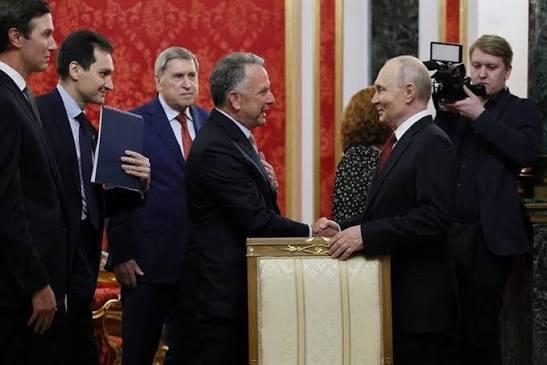
US Envoys Witkoff, Kushner Meet Zelensky in Kyiv After Putin Talks in Moscow
6 Sept 2026
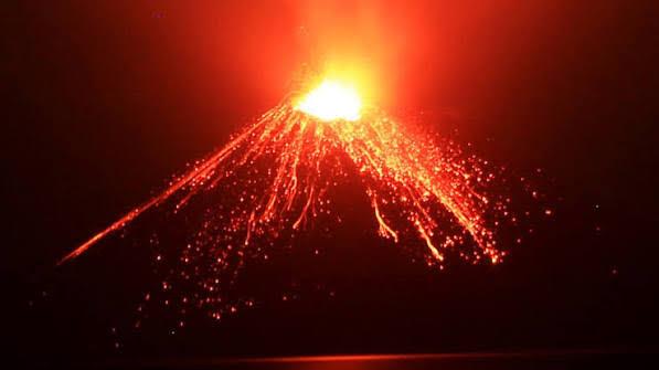
Indonesia Volcano Eruption Strands 150,000 Passengers as Ash Disrupts Flights at 8 Airports
6 Sept 2026

US Warns Countries Against Helping Iran Evade Sanctions After Modi-Pezeshkian Meeting
3 Sept 2026
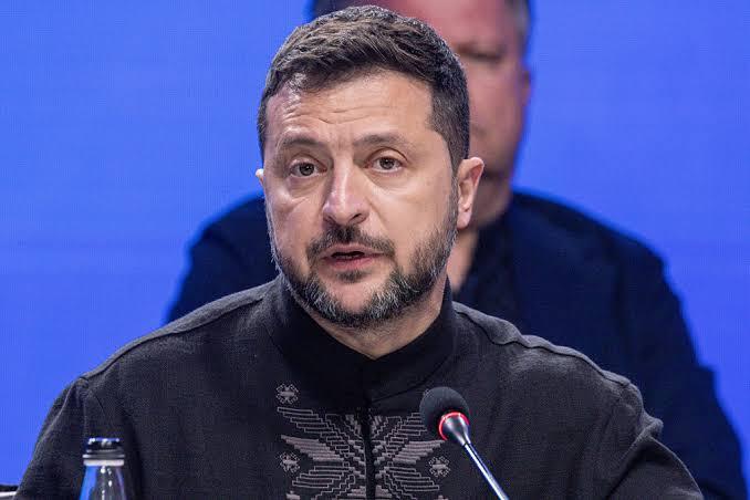
Zelensky Warns Airlines to Avoid Russian Airspace as Ukraine Escalates Drone Strikes
2 Sept 2026